The left side of an event editor is map context: basemap, Dutch overlays, your placed kit, and a ruler. Your Objects, Areas, Lines & Routes, and Add text remain the plan of record. Layers do not add event kit to the catalogue.
Use this when you need aerials, existing street signs, hydrants on a Dutch field, or a lock on a layer you already drew. Skip it to create the plan or to export a PDF. Create first: Event plans handbook. Drawing lesson: Event objects, areas, and routes.
Do not walk the full Dutch Configure BGT objects list here. That catalogue is the traffic-plan article Map layers and Melvin. An event map keeps the hydrant shortcut.
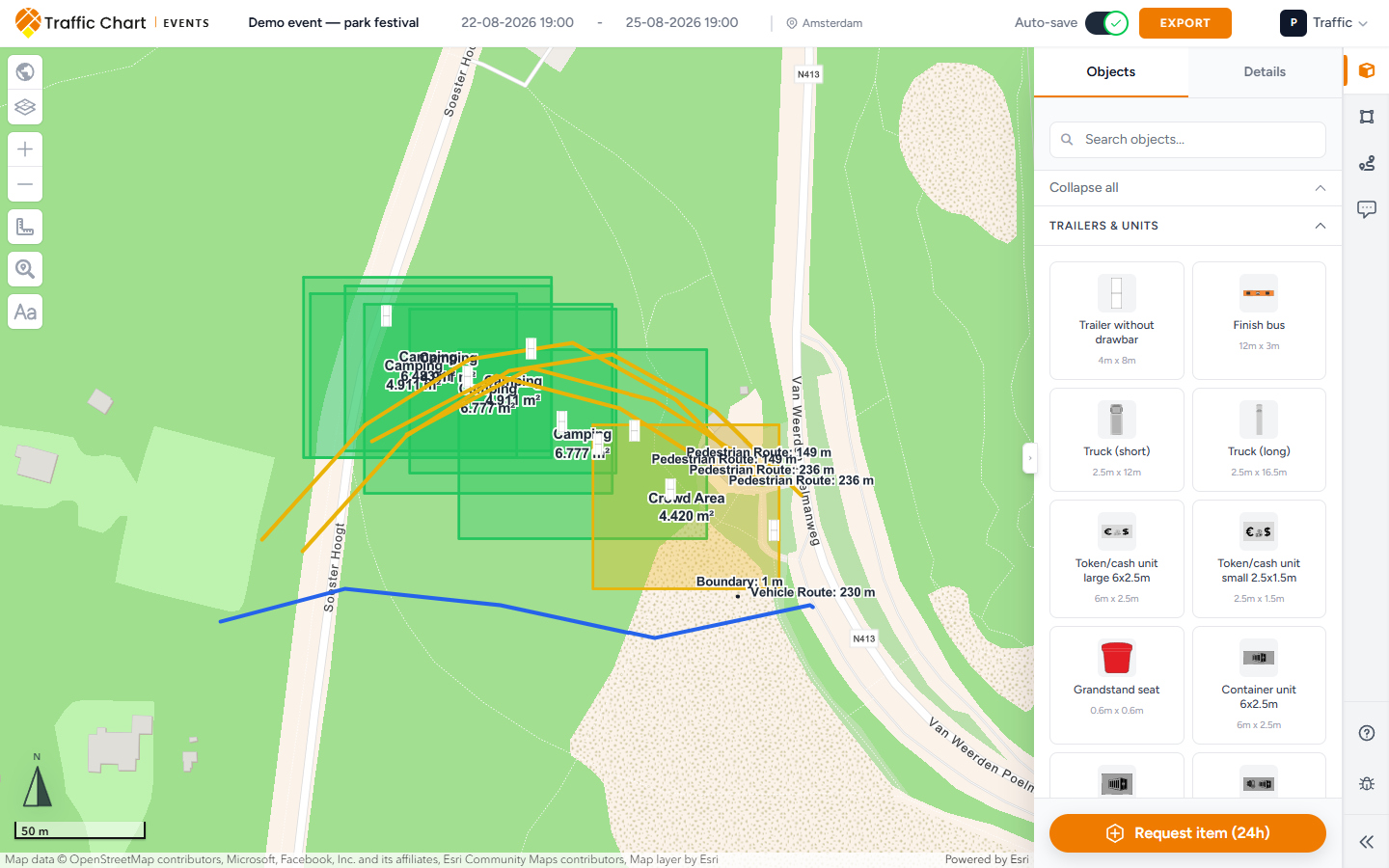
When you need this
Use it on a Dutch festival field when fire cover or existing street signs matter, or when Layers is the fastest way to jump to a toilet block you already placed.
Skip it if the map is still white. Wait out Opening Map Environment.... If it never finishes: Map will not load or stays blank.
There is no Show Melvin on an event plan. Roadworks overlays belong on a Traffic Plan.
Left tools (edit mode)
Wait until the map is ready. Clicking too soon can toast Map is not ready yet.
From the top of the left stack:
- Select map (world-map icon). If a style has no title, the fallback is Map.
- Layers — your placed event content.
- Zoom in / Zoom out.
- Measurement tool — same ruler as traffic plans.
- Search address.
- Add text — the Aa control. Not a sidebar tab.
- Review tools — only for the assigned Traffic expert on an open session. Not a drawing tool.
If the plan is locked, drawing stays off: This event plan is locked and cannot be edited. You can still pan, zoom, and read Comments.
Select map
- Click Select map.
- Pick a basemap. Common styles: Cartographic, Hybrid, Light Gray. Untitled styles show Map.
- Wait until the tiles finish. Switching can take a moment.
Basemap choice is on-screen context and usually the look of the PDF. Prefer a clear style before Export an event plan.
Belgian event maps can also list GRB (Flanders) as a Flanders reference basemap. Dutch-only checkboxes stay hidden when the map is not a Netherlands plan.
Dutch overlays (Netherlands only)
These checkboxes sit under the styles. They appear when the event map is in the Netherlands.
NDW Signs
Existing street signs from the national database. Not your event kit. Not a tile from Objects.
Tick NDW Signs to see what is already on the poles around the site. Zoom in if the layer looks empty. Turn it off before export if the extra symbols crowd the PDF.
NDW signs do not become Objects. They do not count as review objects. They do not go on an event materials list (event export has no traffic materials list).
Fire hydrants (BGT)
The event hydrant shortcut. Tick Fire hydrants (BGT) when you need hydrant positions for access, parking, or a steward brief.
Zoomed out, the hint is Zoom in further to display fire hydrants. Zoom until the hint goes away. Empty at a far scale is expected.
This is not a fire-safety certificate. This is not the full BGT type list. Cabinets, manholes, cameras, and the rest live on traffic plans under BGT objects / Configure BGT objects. Do not walk that configurator here. If you need those types, open a Traffic Plan for the same Utrecht streets: Map layers and Melvin.
TopoRD (Netherlands only)
A topographic overlay. Tick TopoRD (Netherlands only) when you want extra Dutch terrain context.
If the map centre is not in the Netherlands, the hint is Only available when the map center is in the Netherlands. Pan to the real site. The overlay will not invent Dutch topography over a foreign venue.
Layers (your content)
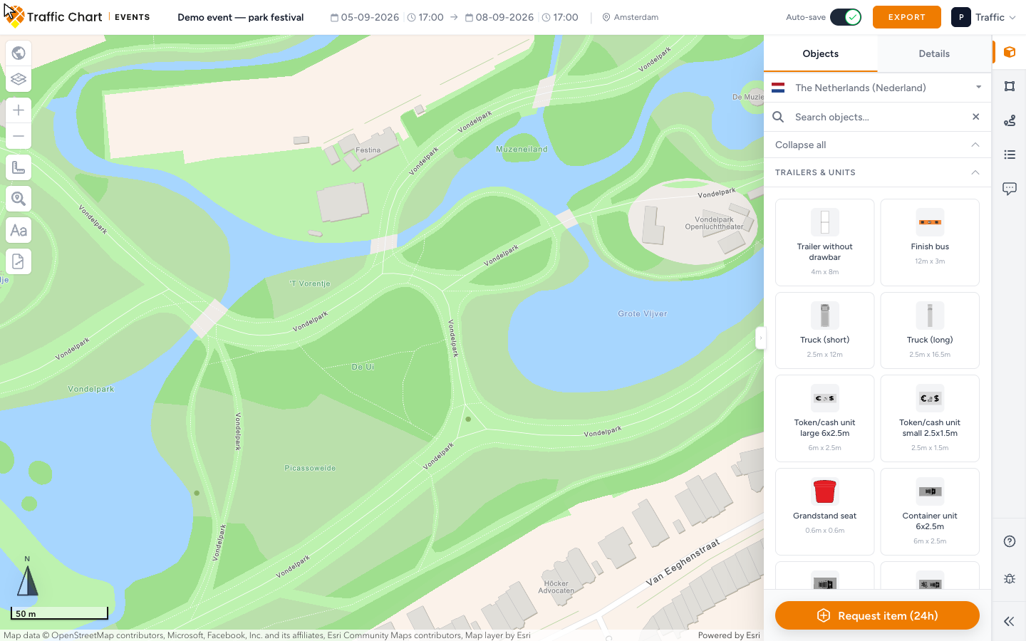
Click Layers. The panel title is Layers.
Sections:
- Event Objects
- Event Areas
- Lines & Routes
- Texts
A row with no name falls back to Object, Area, Line, or Text. Empty section: No items in this layer.
From a section header:
| Control | Does |
|---|---|
| Show labels / Hide labels | Crew tags for that whole section (Texts has no label toggle) |
| Lock entire layer / Unlock entire layer | Locks or unlocks every item in that section |
From a row:
| Control | Does |
|---|---|
| Zoom to | Jumps the map to that item and opens Details |
| Lock item / Unlock item | Locks one object, area, line, or text |
A locked item will not drag. Unlock it before you nudge a generator 2 m.
Layers lists what you already placed. It does not place new kit. Place from Objects, Areas, Lines & Routes, or Add text.
Drawing and measuring (still on this map)
Measurement tool is the same control as on a traffic plan. Open it for Measure line or Measure area. Clear measurement wipes the ruler. Total is the running length or area. Measurements are a check. They are not an export page.
Drawing on an event map:
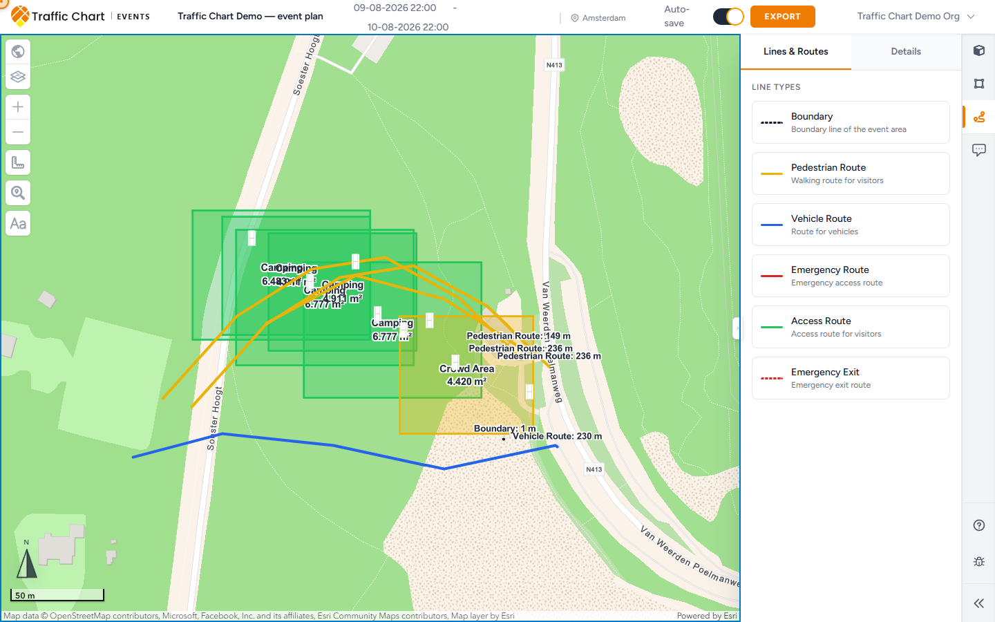
- Areas: Draw area (polygon), Draw area (rectangle), Draw area (circle) — in the live editor you start from Areas and pick Shape Polygon, Rectangle, or Circle, then an Area Type.
- Lines: Draw line — pick a type in Lines & Routes (Boundary, Pedestrian Route, Vehicle Route, Emergency Route, Access Route, Emergency Exit).
- Labels: Add text on the left.
- Direction on a line: Direction: backwards, No direction, Direction: forwards. On Details the buttons read Back, None, Fwd.
Full field, colour, and size lesson: Event objects, areas, and routes.
Placed Event Objects are what in-app review uses to attach a municipality. Areas, lines, and text do not count. If Comments says Place event objects to start a review, put at least one object on the real site.
Export still needs an export area
Select map and Layers do not create a PDF. Export is a header button. You still draw an export area, then choose paper size.
Empty export sidebar: Draw an export area, then choose the paper size for the PDF page. Steps: Export an event plan.
Hydrants and NDW Signs will print if they are on when you capture the page. Turn off overlays you do not want on paper.
What good looks like
You waited for the map. Select map is a readable basemap. On a Dutch Utrecht field, Fire hydrants (BGT) is on only after you zoomed in far enough. NDW Signs is off if it crowded the drawing. Layers lists every generator and route, with Lock item on kit that must not drift. Add text is wayfinding, not a review comment. You drew an export area before you needed a PDF.
If something blocks you
| Situation | What to try |
|---|---|
| Map is not ready yet | Wait, then retry. Map will not load or stays blank |
| Zoom in further to display fire hydrants. | Zoom in. Do not assume the layer is broken |
| Only available when the map center is in the Netherlands. | Pan TopoRD (Netherlands only) to a Dutch centre |
| No NDW Signs / hydrants / TopoRD | The map is not a Netherlands event. Expected |
| No items in this layer. | You have not placed that type yet. Open Objects / Areas / Lines & Routes / Add text |
| This event plan is locked and cannot be edited. | Review lock. You can still use Select map to look |
| No Show Melvin | Expected on event plans. Use a traffic plan for roadworks |
| PDF has no map | You never drew an export area. Export an event plan |